Transforming Your Business with GIS + IoT Mapping
Unlock powerful location intelligence by combining real-time IoT data with advanced GIS mapping. Aeologic develops solutions that overlay sensor data, asset locations, and environmental readings onto dynamic maps, providing rich contextual insights. Visualize patterns, monitor remote assets spatially, and make informed, location-aware decisions.
Why Aeologic for GIS + IoT Mapping?
Aeologic bridges the gap between IoT data collection and geospatial analysis. Our team has expertise in both IoT platform integration and GIS mapping technologies (ArcGIS, QGIS, Mapbox, Leaflet), enabling us to build comprehensive solutions that transform raw IoT data into meaningful spatial intelligence.
Key Benefits of Our GIS + IoT Mapping
- Visualize real-time IoT data on interactive maps.
- Gain contextual understanding of sensor readings.
- Enhanced monitoring of geographically dispersed assets.
- Improved situational awareness for field operations.
- Optimized logistics and resource deployment based on location.
- Spatial analysis of IoT data to identify trends and anomalies.
- Dynamic heatmaps and thematic maps from sensor networks.
- Integration with mobile applications for field personnel.
Our GIS + IoT Mapping Process
Use Case Definition & Data Source Identification
Defining the problem that GIS+IoT can solve and identifying relevant IoT data streams and geospatial base layers.
IoT Data Integration & Geoprocessing
Integrating real-time or historical IoT data with GIS platforms and performing necessary geoprocessing tasks.
Spatial Analysis & Algorithm Development
Developing spatial algorithms to analyze IoT data in a geographic context (e.g., proximity analysis, hotspot detection).
Interactive Map & Dashboard Design
Designing user-friendly maps and dashboards to visualize IoT data and analytical results effectively..
Application Development (Web/Mobile)
Building custom web or mobile mapping applications for accessing and interacting with GIS+IoT data.
Deployment, Real-Time Updates & Maintenance
Deploying the solution, ensuring real-time data updates on maps, and providing ongoing maintenance.
Real-World Applications: GIS + IoT Mapping Use Cases

Smart City Environmental Monitoring Map
Visualizing real-time air quality and noise pollution data from IoT sensors on a public-facing city map.

Agricultural Precision Farming Dashboard
Mapping soil moisture, temperature, and nutrient levels from IoT sensors across fields to optimize irrigation and fertilization.

Real-Time Fleet Management with Geofencing Alerts
Displaying live vehicle locations from IoT trackers on a map with geofencing capabilities to trigger alerts for zone entry/exit.

Utility Network Outage Mapping
Mapping real-time outage information from smart grid sensors to quickly identify affected areas and dispatch crews.

Wildlife Tracking and Habitat Monitoring
Visualizing movement patterns of tagged animals (IoT collars) in relation to habitat data on a GIS platform.

Pipeline Monitoring with IoT Sensor Data Visualization
Mapping pressure, flow, and leak detection sensor data along pipelines for real-time monitoring and anomaly detection.
Technologies We Leverage
Latest Insights
Stay updated with our thoughts on technology, industry trends, and innovation.

Blog
How AI Agents Reduce Operational Costs in Logistics
March 13, 2026
As companies expand across geographies, handle bigger inventories, and meet customers’ demands for quicker deliver...
Read More
Blog
How IoT Manufacturers Can Prepare for EU CRA Audits Before June 2026
March 12, 2026
Manufacturing, healthcare, logistics, and smart cities are just a few of the industries that have been revolutionized by...
Read More
Blog
Top AI Adoption Challenges and How To Solve Them
March 11, 2026
Artificial intelligence is quickly changing how contemporary companies function, compete, and innovate. AI is becoming a...
Read More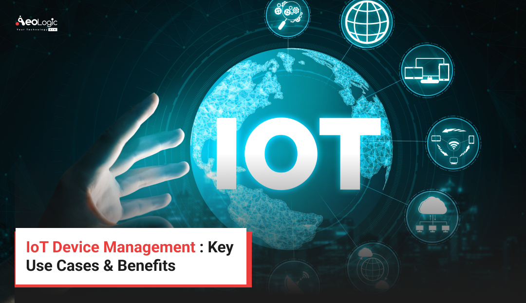
Blog
IoT Device Management : Key Use Cases and Benefits
March 10, 2026
Managing connected devices effectively has become a top priority for contemporary businesses as they continue to prolife...
Read MoreFrequently Asked Questions (FAQs)
GIS + IoT mapping combines Geographic Information Systems (GIS) with Internet of Things (IoT) devices to collect, analyze, and visualize real-time spatial data. Sensors transmit live information, which is mapped through GIS platforms, enabling smarter decision-making in urban planning, transportation, and environmental monitoring.
GIS + IoT mapping is vital for smart cities because it helps track infrastructure, traffic, waste management, and energy usage in real time. By integrating IoT sensor data with GIS maps, city planners can improve efficiency, enhance public safety, and deliver better citizen services.
Through IoT sensors connected to GIS platforms, authorities can monitor air quality, water levels, and temperature in real time. GIS + IoT mapping provides actionable insights, predicts risks like floods or pollution, and supports sustainable environmental management with accurate, location-based intelligence.
Industries like transportation, logistics, agriculture, utilities, and disaster management benefit greatly from GIS + IoT mapping. It enables real-time asset tracking, precision farming, predictive maintenance, and emergency response. Businesses gain efficiency, reduce costs, and ensure better service delivery through data-driven geographic insights.
Key features include real-time data collection, location intelligence, predictive analytics, and interactive visualization. GIS + IoT mapping integrates data from sensors, drones, and GPS to provide accurate, dynamic maps. This empowers organizations with smarter resource management and faster decision-making capabilities.
Get In Touch
Let's discuss how we can help you achieve your goals. We're here to listen.
Send Us a Message
Direct Assistance & Quick Info
Contact Directly
support@aeologic.com +91-120-3200058 +91-120-3200059 +1 917-382-5712 (USA)Mon - Fri, 9:00 AM - 6:00 PM (IST)
Looking for Quick Answers?
Our Office
Plot no. C-28 & 29, C Block, Phase 2, Industrial Area,
Sector 62, Noida, Uttar Pradesh-201309
Sales Offices
United States
Jacksonville
3897 Eunice Road, Jacksonville, Florida 32250
United Kingdom
London
37 Millharbour, South Quay, London E14 9HB
South Africa
Parktown North
Johannesburg 2193